We recommend visiting and exploring Iceland's interesting places, museums, and natural wonders. Select a region to examine those that interest you.
Southern part
Eastern part
Northern part
Western part
Southwestern part
Northwestern part
Islands off Iceland
Highlands (Wilderness)
There are other equally interesting places, museums, and natural wonders elsewhere that are not presented on the website.
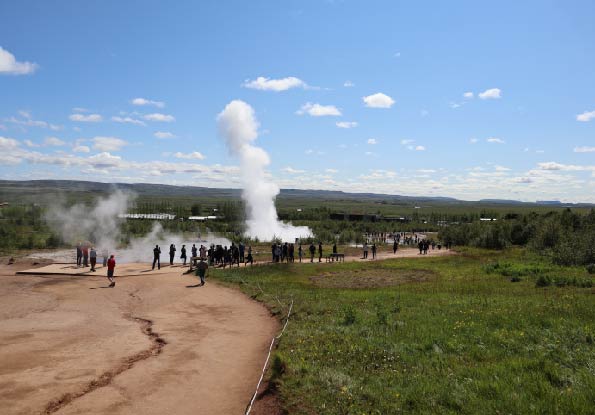
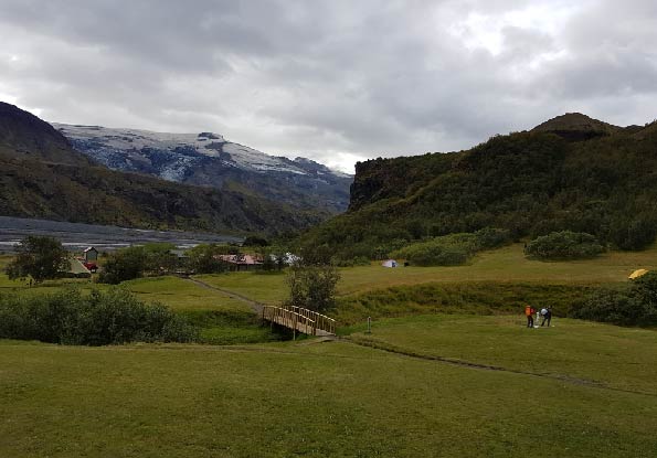
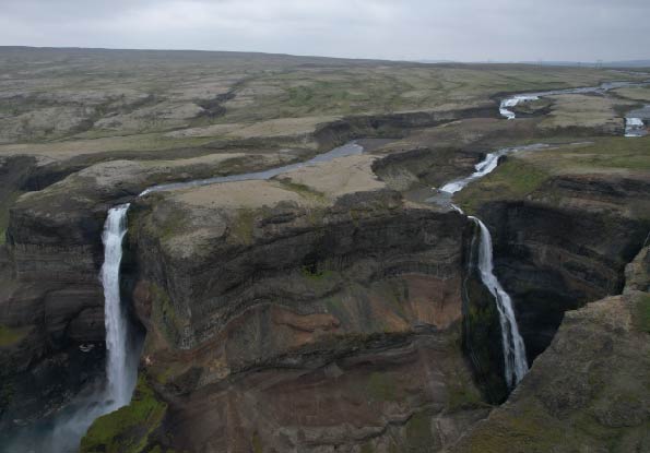
The southern part has interesting places, museums, and natural wonders, which we recommend visiting and exploring.
Skaftafell Vatnajökull (national park)
Jökulsárlón (glacial lagoon)
Fjarðárgljúfur (canyon)
Þjóðveldisbærinn (farm museum)
Skógasafn (museum)
Eldfjalla- og jarðskjálfta miðstöð (volcano center)
Other equally interesting places, museums, and natural wonders are in the southern part that are not presented on the website.
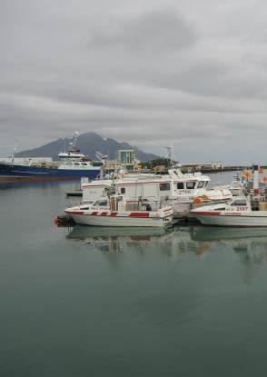
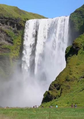
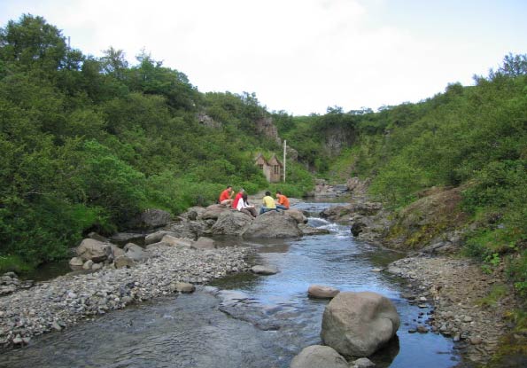
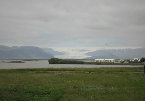
Skaftafell in Öræfi in the southeast of Iceland. Vegetation grows there between sand and glaciers. When Vatnajökull National Park was established, Skaftafell became part of it. Due to its natural beauty, Skaftafell is the first protected area in Iceland. Places of interest within the Skaftafell area are, e.g., Svartifoss, Kristínartindar, Skaftafellsjökull, Morsárdalur, and Bæjarstaðarskógur.
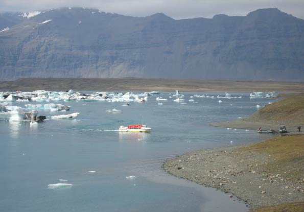
Jökulsárlón is a large glacial lagoon at Breiðamerkurjökull in the southern part of Vatnajökull National Park. The lagoon is 25 square km in area, and its depth is 290 meters. Jökulsárlón is the deepest lake in the country. Large icebergs, which have broken off Breiðamerkurjökull, float on the lagoon. Jökulsá on Breiðamerkursandur flows from the lagoon and transports the icebergs to the sea. Diamond Beach is near the lagoon, where some icebergs come ashore and spread around the beach.
Fjarðárgljúfur is west of Kirkjubæjarklaustur. Fjarðárgljúfur canyon is 100 meters deep and two kilometers long. It is steep and narrow. The bedrock in Fjarðárgljúfur is mostly tuff and about two million years old. Fjarðá has its source in Geirlandshraun and falls from the ridge into the gorge until it flows into Skaftá.
Fjarðárgljúfur is on the list of natural monuments.
Þjóðveldisbærinn is in in Þjórsárdalur. Þjóðveldisbærinn is a replica based on one large farm of the republican age. The model of the farm is the ruins of the former main farm, Stöng in Þjórsárdalur; it is believed that this farm was deserted during the Hekla mountain eruption in the year 1104.
Skógasafn is a regional museum, a housing museum, and a transport museum. The regional museum is the oldest, and the exhibition building is on three floors. You can find fishing, agriculture, a natural history department, weaving, ancient manuscripts, and books, including a copy of the Guðbrandsbiblía from 1584 and objects from the Viking Age. The building museum has good examples of house buildings from earlier centuries. In the lower part of the exhibition area, the turf farm makes a great impression on the exhibition area. In the upper part of the exhibition area is a school building typical of a rural school at the beginning of the 20th century. At the top is the oldest wooden residential building in the museum area, built-in Holti in Síða 1878.
The Transport Museum traces the history of transport and technological development in Iceland in the 19th and 20th Centuries, from horses to cars, the history of the telephone in Iceland, the beginnings of electricity use and postal transport in earlier times. There are also on display cars from the start of the car age, road relics from Vegagerðin, Sigurður Harðarson's electronic communications museum, and Landsbjörg's exhibition about the rescue teams in the country, among many other things. Not far from the Skógasafn is Skógafoss, which is 60 m high and is considered one of the most beautiful waterfalls in the country. In Skógaá, above Skógafoss, there are 20 other waterfalls.
LAVA center - The Iceland Volcano and Earthquake Center is an experience center dedicated to the enormous forces of nature that began to create Iceland almost 20 million years ago and are still impacting it. LAVA Center not only allows you to experience these forces of nature in an interactive and lively way but also connects you to the nature you face: Hekla, Tindfjöll, Katla, Eyjafjallajökull, and Vestmannaeyjar.
The eastern part has interesting places, museums, and natural wonders, which we recommend visiting and exploring.
Stórurð (unique nature)
Hengifoss (waterfall)
Stuðlagil (canyon)
Skriðuklaustur (museum)
Steinasafn Petru (museum)
Fransmenn á Íslandi (museum)
Minjasafn Austurlands (museum)
Other equally interesting places, museums, and natural wonders exist in the eastern part that are not presented on the website.
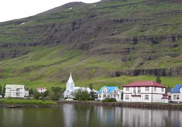
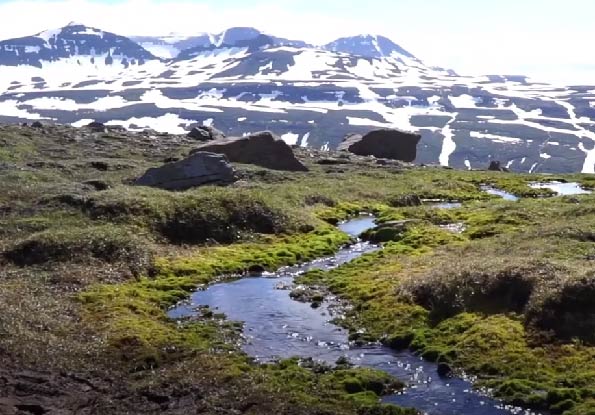
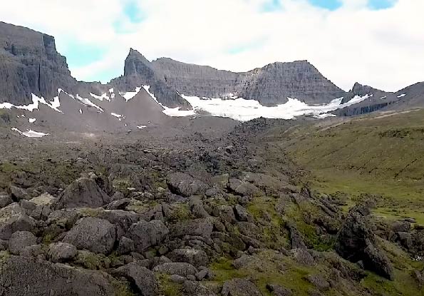
Stórurð is in Urðardalur in Hjaltastaðaþinghá. The current appearance of Stórurð is primarily shaped by the last ice age, which ended approximately ten thousand years ago. Its unique nature includes grass bales, tens of meters high boulders, blue-green ponds, and distinctive vegetation. It takes about six hours to walk to Stórurð from Vatnsskarð.
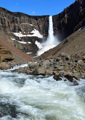
Hengifoss falls into Hengifossgljúfur, which is in the northern part of Fljótsdalur. It is the second-highest waterfall in the country, 128 meters high and majestic. A colorful rock face surrounding the waterfall shows different layers from the Tertiary period, six to eight million years ago. Bluish boulders mixed with beautiful red interlayers give the waterfall a unique look. Hengifossá originates in Hengifossvatn in Fljótsdalsheiði and flows through the gorge and down into Lagarfljót. It takes up to 50 minutes to walk from the parking place to the waterfall. Litlanesfoss is in the vicinity of Hengifoss and is crowned with a high basalt column, which is the highest in the country.
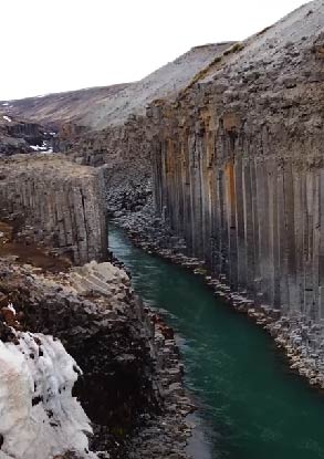
Stuðlagil is in Efri-Jökuldalur in Fljótsdalshérað. Stuðlagil (canyon) was found after the construction of the Kárahnjúkar power plant and Hálslón reservoir, which led to a significant decrease in water volume in Jökulsá á Dal (Jökla). Jökla is one of the country's longest glacial rivers and stretches 150 km from Vatnajökull to the sea. Stuðlagil boasts one of the country's most giant and beautiful basalt columns.
Skriðuklaustur is a historical site with the ruins of a medieval monastery from the 16th century. The ruins have been excavated, and the excavation revealed that medicine and bookmaking were practiced there. Skriðuklaustur is also an ancient manor and magistrate's residence in Fljótsdalur.
There was a monastery there from 1493 to 1552, and Skriðuklaustur was the last monastery established in Iceland in the Catholic tradition.
Steinasafn Petru in Stöðvarfjörður. Ljósbjörg Petra M. Sveinsdóttir was interested in beautiful stones but started collecting them in 1946. The stones are mainly from Stöðvarfjörður and East Iceland. Petra also collected marked pens, cups, other small items, and all kinds of natural treasures such as eggs and shells for many decades.
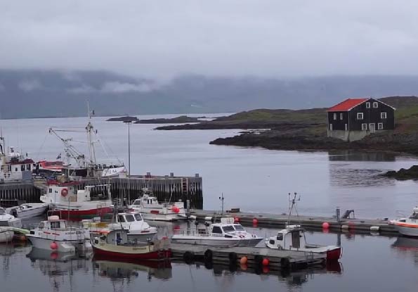
Fransmenn á Íslandi French fishermen in Icelandic waters are housed in the Medical Center and the French Hospital, which the French built in 1904 in Fáskrúðsfjörður. The museum's leading exhibition is in the tunnels connecting the two houses. French fishermen in Icelandic waters are, without a doubt, one of the most interesting museums in the country due to the atmosphere that has been created. The lives of fishermen on board the French schooners that visited Icelandic waters show their facilities and daily life. The museum also provides an insight into the essential activities of the French hospital.
Minjasafn Austurlands in Egilsstaðir preserves relics of history and culture in the region. The museum has two essential exhibitions on the one hand, the exhibition Reindeer in East Iceland and on the other hand, the exhibition Sustainable Unity. The reindeer in the East: The exhibition discusses the lifestyles and struggles of reindeer and the dangers they face from nature and man. Sustainable unit: The exhibition title refers to the fact that in the past, every Icelandic rural home had to be self-sufficient in the most necessities of life, e.g., food, clothing, tools, and shelter.
The northern part has interesting places, museums, and natural wonders, which we recommend visiting and exploring.
Mývatn (lake)
Ásbyrgi (unique nature)
Hljóðaklettar (unique nature)
Glaumbær in Skagafjörður (museum)
Síldarminjasafn Íslands in Siglufjörður (museum)
Hvalasafnið in Húsavík (museum)
Other equally interesting places, museums, and natural wonders are in the northern part that are not presented on the website.
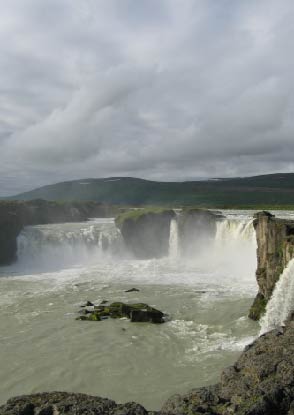
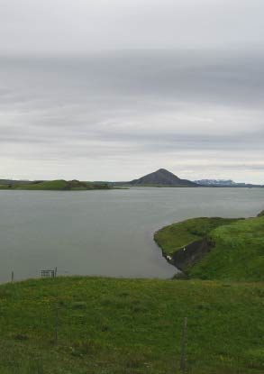
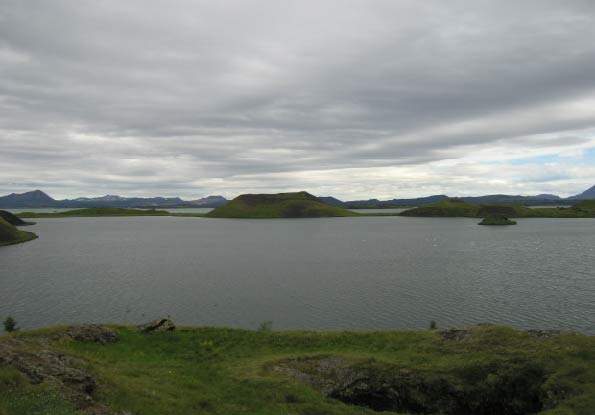
Mývatn is a lake close to Krafla. Mývatn is the fourth-largest lake in the country, 37 square kilometers, and has 40 small islands. Lake Mývatn is very shallow. The ecosystem of Lake Mývatn is diverse.
At Lake Mývatn, there are waterfowl and wetland birds of various species, but Lake Mývatn is best known for the number of duck species that are more numerous by the lake during the summer than in any other place on earth. Special laws protect Lake Mývatn, which is on the list of internationally important wetland areas.
Ásbyrgi is in Vatnajökull National Park, in Jökulsárgljúfur, and one of the biggest natural wonders in the country. Ásbyrgi is 3.5 km long and 1.1 km wide, and the walls are 90 - 100 m high. Lake and island and much vegetation are in Ásbyrgi. It is believed that Ásbyrgi was formed during two catastrophic eruptions, one eight thousand years ago, but the latter three thousand years. Since then, the river Jökla has moved to the East.
Legend has it that Odin's eight-legged horse, Sleipnir, stepped down there when the god Odin was riding and formed Ásbyrgi.
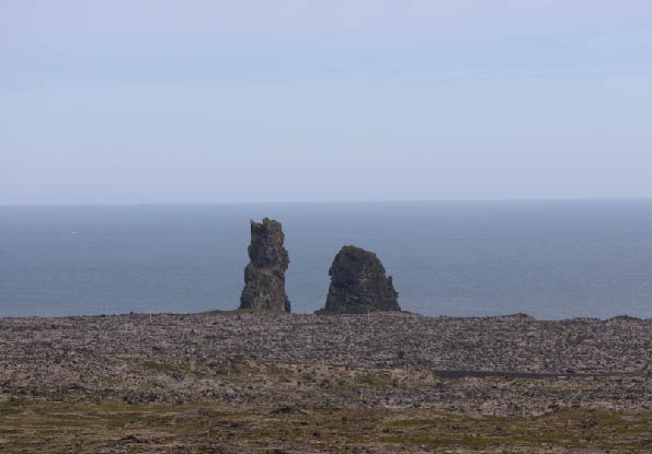
Hljóðaklettar is a collection of columnar rock formations in Jökulsárgljúfur in Vatnajökull National Park. Geological formations are world-class, with columnar rocks woven into various shapes. Just south of the cliffs are Karl and Kerling, two lava flows at the bottom of the gorge. The man is about 60 m tall, but the woman is shorter and slimmer. The name Hljóðaklettar is derived from the echo of the river, which most closely resembles a buzz.
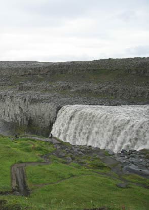
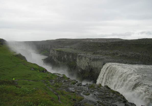
Not far from Hljóðaklettar is Dettifoss. Dettifoss is the most powerful waterfall in the country and the second-largest waterfall in Europe. Dettifoss is 45 meters high and has an over 100-meter-wide waterfall in Jökulsá á Fjöllum, which is a source in Vatnajökull.
Dettifoss is part of Vatnajökull National Park and is defined as a Nature Reserve by the Environment Agency. Near Dettifoss are two large waterfalls, Hafragilsfoss and Selfoss.
Glaumbær in Skagafjörður consists of thirteen houses. Glaumbær is the most turf-rich farmhouse in the country. Legend has it that Snorri Þorfinnsson, the son of Þorfinnur Karlsefni and Guðríður Þorbjarnardóttir, built the first church in Glaumbær around the year 1000. In 2002, the remains of houses from the 11th century were found in the meadow east of the farmhouses.
Síldarminjasafn Íslands in Siglufjörður. The Herring Museum is one of the country's largest maritime and industrial museums. The three houses show tools and equipment for herring fishing and processing. In Róaldsbrakka, a Norwegian herring house from 1907, is the salting station, and the herring people lived there during the years of the herring adventure. Grána has a museum that contains the history of the smelting industry, which was the first heavy industry in the country.
Herring was one of the main destinies of the country in the 20th century and the basis for Icelanders to disappear from years of poverty and be able to build a modern society. The events surrounding the herring were so crucial to the people and the country that there was talk of an adventure - the herring adventure.
The Herring Museum won the European Museum Award in 2004 when it was chosen as Europe's best new industrial museum.
Hvalasafnið in Húsavík. The Whale Museum in Húsavík's primary purpose is to provide education and information about whales and their habitats. The exhibition space shows skeletons of many species of whales and other information about the largest animals on earth.
The western part has interesting places, museums, and natural wonders, which we recommend visiting and exploring.
Deildartunguhver (hot spring)
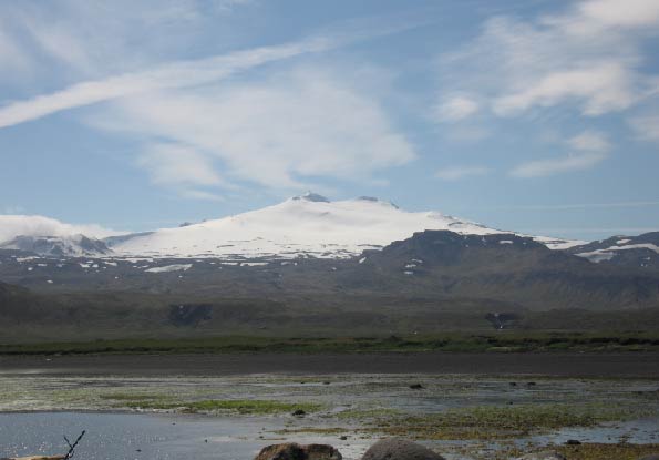
Snæfellsjökull (glacier)
Eldborg (crater)
Sjóminjasafnið in Hellissandur (maritime museum)
Landbúnaðarsafn Íslands (agricultural museum)
Eiríksstaðir (museum)
Other equally interesting places, museums, and natural wonders in the western part are not presented on the website.
Deildartunguhver is north of Reykjadalsá, in Reykholtsdalur. Deildartunguhver is the wateriest spring in Europe. Its hot water flows 180 liters of 100° C per second. The hot spring is part of Borgarfjörður's most extensive geothermal system, the most powerful in Iceland. If you look at natural surface geothermal energy, almost half of the water flow comes from the hot spring. One of the world's most extended geothermal water pipes lies 64 km from Akranes.
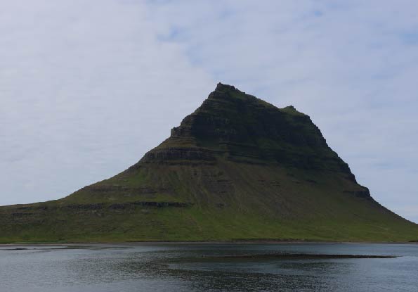
Snæfellsjökull is a 1446 m high glacier west of Snæfellsnes, within the National Park, and its surface area is 10 square kilometers. Deep down under Snæfellsjökull, an active volcano formed during many eruptions, most recently eighteen hundred years ago. Its eruption history can be traced to seven hundred thousand years back in time; most of the top crater's eruptions have been either explosive eruptions or lava eruptions. Since the end of the ice age, eruptions have occurred over 20 times in and around the glacier, and three of the eruptions were erratic for eight thousand years, four thousand years, and eighteen hundred years. Háahraun covers most of the southern slope of Snæfellsjökull. The glacier has shrunk in recent years. Snæfellsjökull is an active volcano.
Eldborg in Hnappadalur is a slag crater and belongs to the volcanic system of Ljósufjöll. The crater rises 100 m above sea level and 60 m above the surrounding lava and is the most giant crater in a short eruption fissure. The crater is an oval-shaped crater with steep crater walls formed from thin lava flows, 200 m long and 50 m deep. It was formed five to eight thousand years ago. It is possible that the eruption occurred there during the settlement of Iceland in 874, according to Landnámabók.
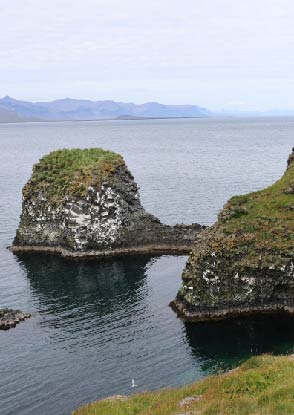
Sjóminjasafnið in Hellissandur is in Sjómannagarðurinn by Sandahraun. The museum contains relics related to the operation of rowing ships in past centuries and many other artifacts, pictures, and boat engines. The Þorvaldsbúð was rebuilt, where fishermen used to live.
Landbúnaðarsafn Íslands in Borgarfjörður shows the history and development of Icelandic agriculture, emphasizing the period from 1880 - 2000. The museum displays the tremendous technological change in Icelandic agriculture during this period. The museum's exhibition is in Halldórsfjós in Hvanneyri, the museum's largest exhibit and bears witness to the last century's development. The Bird Sanctuary in Andakíl belongs to the museum.
Eiríksstaðir shows ancient ruins in the land of Stóra-Vatnshorn in Haukadalur in Dalasýslu. According to the Settlement and Eiríkur rauða's story, Eiríkur rauði Þorvaldsson and his wife Þjóðhildur Jörundardóttir lived at Eiríksstaðir and have been led to believe that it is probably the same place as is known as Eiríksstaðir today. However, this has not been conclusively proven. The ruins of Eiríksstaðir are protected archeological remains. Archaeological excavations have been carried out there, which revealed a hut and an earthen house from the Viking Age. Eiríksstaðir has built a longhouse replica based on the pavilion's research. Eiríkur rauði was exiled from Iceland for murder and sought land in the West. He named the new country Greenland and moved there with his family in 985 or 986, and many people followed him. Leifur Eiríksson, son of Eiríkur rauði, found and explored America in 1000, the first European, almost five hundred years before Columbus. Leifur Heppni is, therefore, one of the most significant explorers in history.
The southwestern part has interesting places, museums, and natural wonders, which we recommend visiting and exploring.
Brúin in Reykjanes (bridge)
Svartsengi (powerplant)
Þingvellir (national park)
Þjóðminjasafn Íslands (national museum)
Árbæjarsafn (museum)
Sjóminjasafn (maritime museum)
Other equally interesting places, museums, and natural wonders exist in the southwestern part that are not presented on the website.
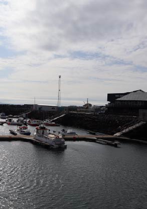
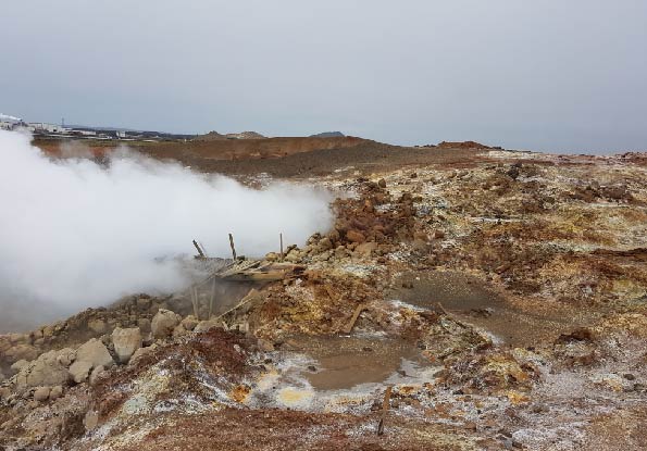
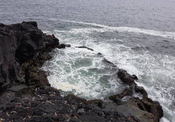
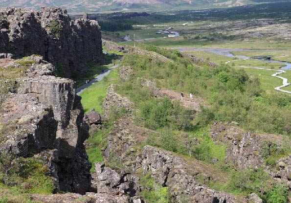
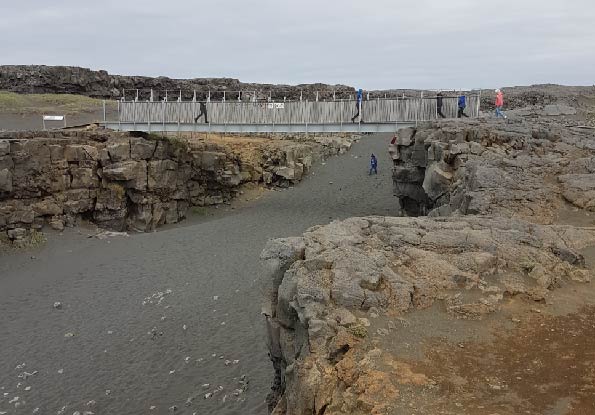
Brúin in Reykjanes is a bridge at the plate crossing between Europe and America. According to geological theories, the Eurasian and North American rafts are pushed apart in Reykjanes. The raft boundaries are bounded by eruptions, ravines, and craters from Reykjanes and the country's northeast. It can be said that the Reykjanes Ridge (Mid-Atlantic Ridge) "walks" ashore on Reykjanes, but with it lies the return of these two rafts. Iceland is thus divided between two crustal plates. The eastern part of the country belongs to the so-called Eurasian rafts, and the western part belongs to the so-called North American rafts. The separation between the rafts appears either as open cracks and ravines or as rows of craters.
Svartsengi is in the middle of the Reykjanes peninsula, north of Grindavík. There is no geothermal heat in the actual Svartsengi, but steam on frosty days indicates geothermal heat in Illahraun East of the road north of the mountain Þorbjörn. The lava was drilled, and Svartsengisvirkjun (powerplant) has operated in the area since. The power plant produces electricity and hot water for space heating. Silica-rich wastewater from the power plant has compacted the lava bottom and formed the Blue Lagoon, a popular bathing spot. Its uniqueness is the geothermal sea, which is two-thirds of salt water and one-third of fresh water. It is found at depths of up to 2000 meters and is led by pipes from the source to the lagoon. It is rich in minerals, silica, and algae. National Geographic has chosen the Blue Lagoon as one of the 25 wonders of the world.
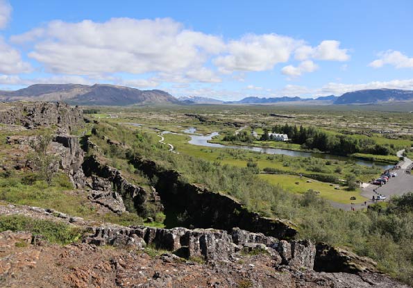
Þingvellir are flat, grassy fields north of Þingvallavatn on the banks of Öxará, which flows along the fields into Þingvallavatn, which is the largest lake in Iceland.
The national park was established in 1928 and covers Þingvellir and its immediate surroundings. In Öxará is Öxarárfoss, where the river flows into Almannagjá. The Þingvellir area is connected to the volcanic and fissure belt across Iceland. It is part of the Atlantic ridge that runs north of the Arctic Ocean and south along the Atlantic Ocean. The erosion of the earth's crust in crevices and cracks is visible in the area. Þingvellir was approved by the World Heritage List of the United Nations Educational, Scientific and Cultural Organization (UNESCO) in 2004. With the agreement, Þingvellir is one of more than 1000 cultural and natural monuments on the World Heritage List with unique value for the whole world.
Þjóðminjasafn Íslands in Reykjavík. The National Museum is responsible for collecting, registering, preserving, and researching monuments about the nation's cultural history and presentation within the country and abroad.
Árbæjarsafn in Reykjavík shows a collection of old houses, most of which have been moved to the museum area from the center of Reykjavík. The area is divided into squares, villages, and countryside, giving a good picture of the environment and town in Reykjavík in the 19th and 20th centuries.
Sjóminjasafn in Reykjavík collects and disseminates history and monuments related to the sea and seafaring, especially those relevant to the history of Reykjavík. It deals with Icelandic fishing, from rowing boats before the operation of large vessels in the last decades of the 19th century until the turn of the century in 2000.
The northwestern part has interesting places, museums, and natural wonders, which we recommend visiting and exploring.
Dynjandi (waterfall)
Látrabjarg (cliff)
Rauðasandur (beach)
Melrakkasetur (research center)
Byggðasafn Vestfjarða (museum)
Minjasafn Egils Ólafssonar (museum)
Other equally interesting places, museums, and natural wonders exist in the northwestern part that are not presented on the website.
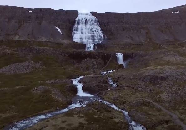
Dynjandi is the largest waterfall in the Westfjords. It is in Dynjandisvogur at the bottom of Arnarfjörður. The waterfall and its surroundings were protected as natural monuments in 1981, as they are a unique natural pearl. Dynjandi is in the river Dynjandi, which flows down from Dynjandisheiði. It originates in several lakes on the heath on the edge of the Gláma highlands. The glacial area is characterized by glacial ridges and depressions in which small lakes have accumulated. Dynjandi falls 100 meters high and is a bulging rock. The waterfall ladder has been created due to the stratification of the rock into lava layers and loose intermediate layers. The waterfalls are lava layers, but the river has dug up the intermediate layers. There are six waterfalls in Dynjandi. At the top is Fjallfoss, then Hundafoss, Strokkur, Göngumannafoss, Hrísvaðsfoss and Sjóarfoss.
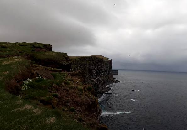
Látrabjarg stands at the far end of Breiðafjörður on the north side and is the westernmost point of the country. The rock is 14 km long, and the highest is 444 m above sea level. The cliff's southern slope is steep in some places. Látrabjarg is the giant bird cliff in Europe, and several species meet international protection standards. Látrabjarg was protected as a natural monument in 2021.
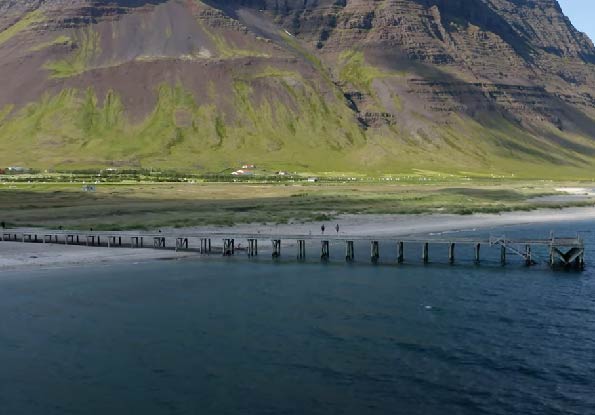
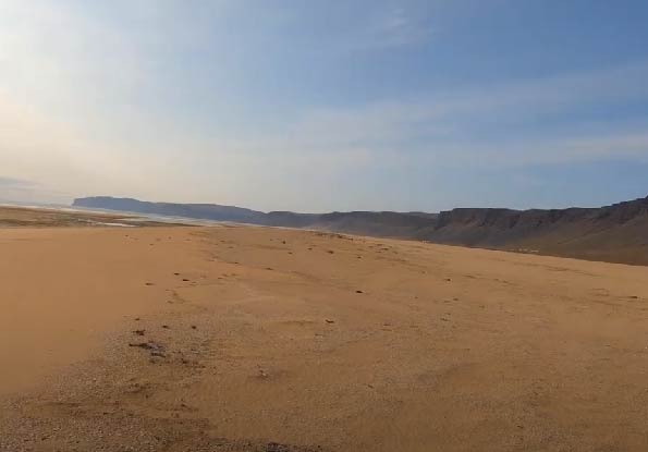
Rauðasandur is east of Látrabjarg. It is a 10 km long coastline characterized by beautifully colored red sand. Depending on the light, the color can range from yellow to red and even black. There is a simple explanation for the color of Rauðasandur. The sand gets its red color, most likely from the shell fragments of scallops (Chlamys islandica).
Melrakkasetur in Súðavík. It is dedicated to the Icelandic fox, which is a species of Vulpes lagopex and is the only original land mammal in Iceland. The exhibition will include educational material on the subject and pictures of foxes in the wild.
Byggðasafn Vestfjarða in Ísafjörður, the country's oldest cluster of houses. Danish monopoly merchants built four houses in the 18th century. The museum has set up an exhibition of sea monuments related to fishing and fish processing from ancient times to the present day.
Minjasafn Egils Ólafssonar in Hnjótur Örlygshöfn preserves a unique collection of old monuments from the south of the Westfjords that give us an insight into the history of fishing, agriculture, and daily life. There is also an exhibition about the rescue achievement at Látrabjarg in 1947.
The islands of Iceland have interesting places, museums, and natural wonders, which we recommend visiting and exploring.
Vestmannaeyjar
Flatey in Breiðafjörður
Grímsey in Skjálfandi
Eldheimar (museum)
Sagnaheimur (folk museum)
Ljósmyndasafn Vestmannaeyja (museum)
Other equally interesting places, museums, and natural wonders are found in Iceland's islands, which are not presented on the website.
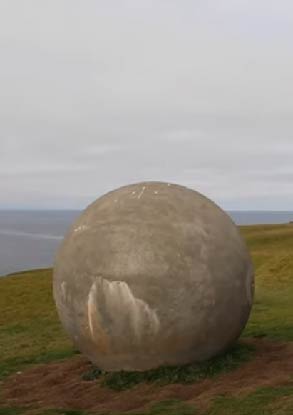
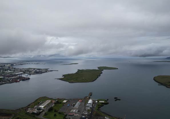
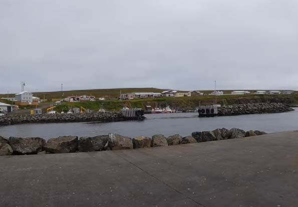
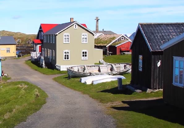
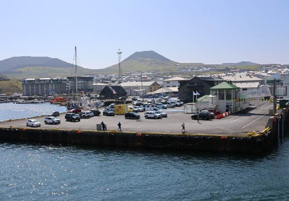
Vestmannaeyjar is located off the south coast and has fifteen islands. Heimaey is the largest of the islands and the only one that is inhabited. The Westman Islands have a very diverse ecosystem, especially birds and plants. The world's largest puffin population is in the Westman Islands. There are generous fishing grounds around the islands. An eruption began on Heimaey on January 23, 1973. Lava flowed from a fissure 350 meters away from the houses and destroyed or damaged more than half of all houses on the island. Nearly a third of all houses went under lava.
The lava had almost closed the harbor, but seawater was pumped onto it to cool it. The cooling stopped the lava flow, so the harbor did not close. The mountain Eldfell was formed during the eruption and is 225 meters high. Eldfellshraun expanded Heimaey by 3 square kilometers. Almost all the locals evacuated from the island during the eruption, but most returned after the eruption.
The eruption ended on July 3, 1973, when large-scale cleaning work began on the island, as 300 houses went under lava, and the rest lay under a thick layer of ash.
Surtsey was created by a large underwater eruption that began in 1963 and ended in 1967. After the eruption, the island was fully protected, and all humans who traveled around the island without special permission were prohibited. Surtsey has been a UNESCO World Heritage Site since 2008.
Flatey in Breiðafjörður is off the west coast. Flatey is the largest island of the West Islands in Breiðafjörður and is the most populous. There are 40 other smaller islands belonging to the West Islands. Flatey is mostly flatland and is half a square kilometer in area, two km in length, and half a km where it is widest. The western islands are on a prominent volcano, and geothermal heat is in many places on the islands. The harbor was self-made by nature and provides shelter in most winds. Giftful fishing grounds are all around the island. Flatey has great natural beauty. There is a lot of bird life on the island, and part of it is protected mainly in the spring.
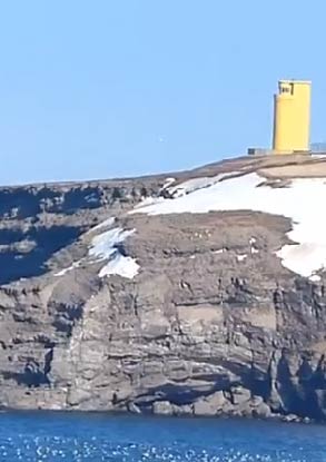
Grímsey in Skjálfandi off the north coast. The area of Grímsey is 5.3 square kilometers and rises to a height of 105 meters above sea level, and steep bird cliffs are the island's outskirts in three directions. The shortest distance between the country's north coast and Grímsey is 41 km. The island is all grassy and has 117 species of plants. Up to 60 species of birds nest there and spend the summer there. For example, the puffin arrives in mid-April and leaves in early August. Grímsey is the northernmost settlement in the country, and there are generous fishing grounds all around the island. In winter, daylight is very short. The Arctic Circle runs through Grímsey on the north side.
Eldheimar is an eruptive heritage exhibition. The exhibition provides information about the eruption in the Westman Islands in 1973, which is undoubtedly one of the greatest natural disasters in Icelandic history. An insight into human life and the environment in the Westman Islands before the eruption and how the natural disasters of 1973 affected society and people's lives. During the eruption, there was great uncertainty about whether the island would ever be inhabited again.
Sagnaheimur was founded in 1932. The exhibitions focus on the uniqueness of the Westman Islands, the Turkish invasion, the unique history of the Mormons in the Westman Islands, the National Festival and the music associated with it, and the main livelihoods of island beards through the centuries, the fishing industry.
Ljósmyndasafn Vestmannaeyja contains photographs and videos of nature, human life, and culture in the Westman Islands. It is the fourth-largest museum in the country and the second-largest museum of photography outside the capital, next to the Akureyri Museum.
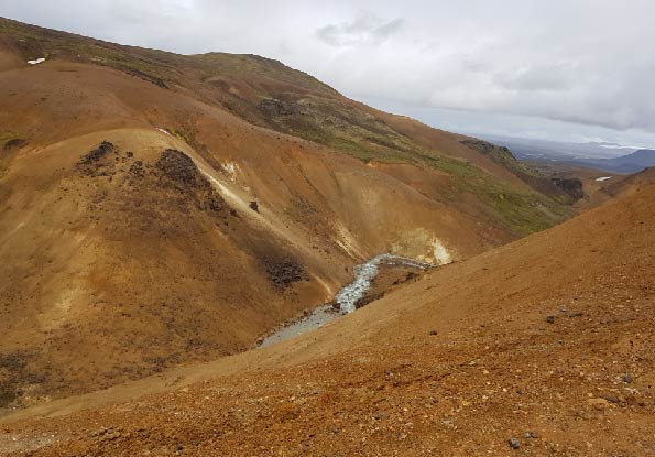
We recommend visiting and exploring the highlands and wilderness, which contain interesting places and natural wonders.
Other equally interesting places and natural wonders in the highlands or wilderness are not presented on the website.
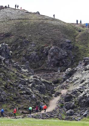
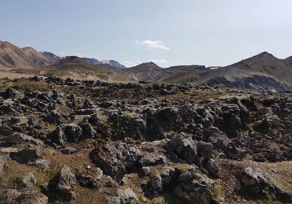
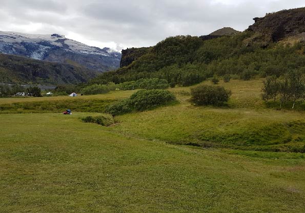
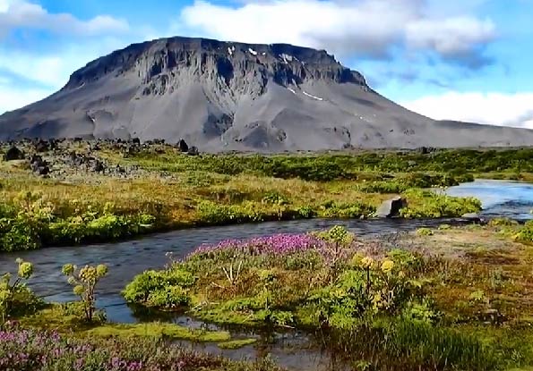
Landmannalaugar is a hot natural pool in the highlands on Fjallabaksleið, northeast of Hekla in Friðland, located behind the mountains. It is 600 m above sea level and at the foot of Laugahraun. The lava is rather rugged, with great natural beauty and color.
There is geothermal heat, and the geothermal energy is connected to one of the largest high-temperature areas in the country, the Torfajökull area.
Landmannalaugar is either the starting or ending point of the hiking trail on Laugavegur to or from Þórsmörk. The walk on Laugavegur takes up to five days. Accommodation is in or near six mountain huts that are on the hiking trail: Landmannalaugar, Hrafntinnusker, Álftavatn, Hvanngil, Botnar í Emstrum and Þórsmörk.
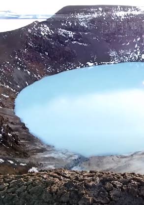
Askja is the main volcano north of Vatnajökull, in Ódáðahraun in the highlands. Around Askja is Dyngjufjöll; a gap through the mountains to the East is called Öskjuop. Dyngjufjöll is 600 square km in size in the southern part of Ódáðahraun. Dyngjufjöll is 1500 m above sea level, or 600 - 700 m above the lava and surrounding sands. The mountains surround a 50 square km circular crater called Askja. Dyngjufjöll is steep, and gorges are cut, and the primary material in them is tuff; to the East of them is Drekagil. Askja belongs to Vatnajökull National Park. In Askja, nature is spectacular and lacks vegetation. An enormous eruption began in Dyngjufjöll on March 29, 1875. This eruption is called Öskjugosið 1875 or Dyngjufjallagos. A large amount of ash fell from the eruption, covering a large land area. After the eruption ended, there was a large landslide in Askja, and then Öskjuvatn was formed. On the east bank of Öskjuvatn is the crater Víti. Öskjuvatn is the country's deepest lake, 224 m, and in Víti, sulfur is polluted by 22°C hot water.
In 1961, a short crack in the northeastern part of the caldera erupted. The ridge series Vikraborgir was formed there, but a rugged black apal lava, Vikrahraun, flowed to the plains east of Askja.
To the south and southeast of Drekagil is the Vaðalda mountain. Between it and Dyngjufjall is a shallow lake, Dyngjuvatn. Dyngjuvatn can become 6 km long but disappear during the dry season. Southwest of Vaðalda, the river Svartá flows into Jökulsá á Fjöllum.
Kerlingarfjöll is a mountain range in the highlands near Kjölur, and there is a 150 square km area between Hofsjökull and Langjökull. There is great natural beauty and color, as well as the interplay of glaciers, geothermal energy, vegetation, and lack of vegetation.
The mountains stretch 800 - 1500 m above sea level and 600 - 700 m above the environment. The main rock types of the hills are tuff and light rock (rhyolite). Valleys and gorges cut the mountains. The rivers Ásgarðsá and Kisa flow from the hills and divide them into two parts, Austur- and Vesturfjöll.
Kerlingarfjöll is one of the most diverse thermal areas in the country. Minerals from hot springs in the area are yellow, red, and green.
The main volcano is about 140 square km in area. There are three hot springs 900 - 1100 meters above sea level: Neðri Hveradalir, Efri Hveradalir and Hverabotnar. The temperature in the hot springs is high and measured up to 150°C. Low water flow accompanies the thermal activity, and effluent from the hot springs evaporates almost exclusively. The thermal activity is high, and the density of pools, hot springs, and steam eyes is high. The geothermal areas cover seven square km on the surface. Hveradalir is the main hot spring area there.
Kerlingarfjöll and the surrounding area are protected, including the protected area around the mountains and the surrounding wilderness southwest of Hofsjökull, 344 square km. To the East, the boundaries of the protected area lie up to the nature reserve in Þjórsárver, and the north is a short distance to Guðlaugstungur.